
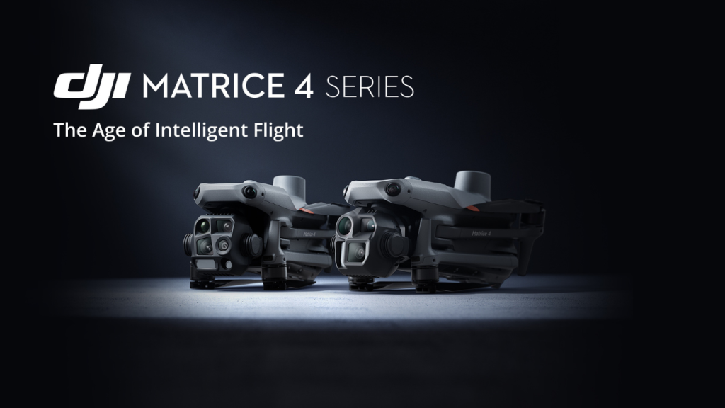
DJI Matrice 4 – AI Power for Smarter Operations
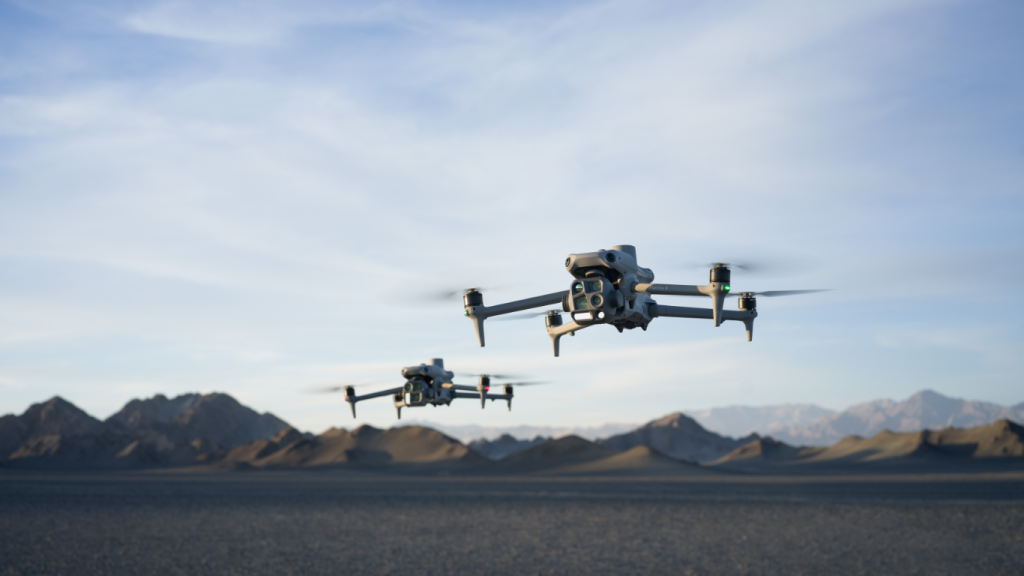
The construction industry in Ireland is entering a new era of innovation and efficiency, thanks to the introduction of the DJI Matrice 4 Series from DJI Enterprise. Designed with precision, intelligence, and adaptability the Matrice 4T and Matrice 4E, offers a game-changing solution for surveying, mapping, and construction operations.
Key Features Tailored for Construction
Precision Mapping and Modelling
The Matrice 4E is a standout choice for geospatial applications, making it perfect for construction sites that require detailed mapping and 3D modelling.
- Rapid Data Collection: With a wide-angle camera capable of capturing images every 0.5 seconds, mapping operations are faster than ever.
- 5-Directional Oblique Capture: This innovative feature captures multiple angles in one flight, reducing the need for repeat missions and significantly enhancing efficiency.
- Smart 3D Capture: Create detailed models of irregular structures and surfaces with precision, perfect for planning and site analysis.
Enhanced Imaging for Inspections
The telephoto camera and medium telephoto capabilities of the Matrice 4T make it an invaluable tool for inspecting construction sites.
- Detailed Inspection: Capture fine details like cracks in structures or bolt placements from distances up to 10 meters.
- Electronic Dehazing: Ensure clarity in Ireland’s variable weather conditions, whether dealing with mist, smog, or low light.
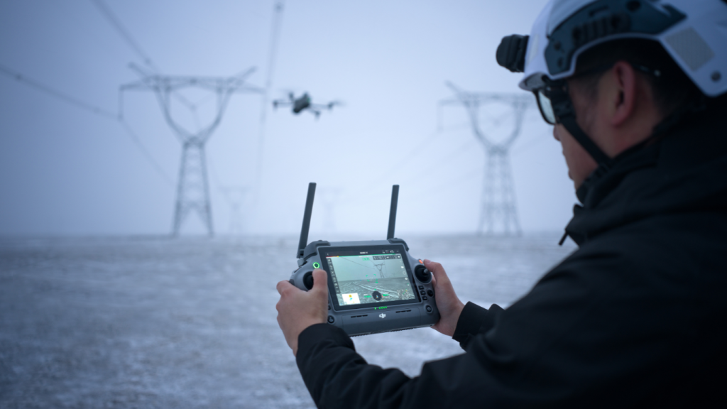
Safety and Efficiency with AI Integration
Powered by AI, the Matrice 4 Series supports advanced operations tailored for high-pressure construction environments.
- FlyTo Functionality: Navigate seamlessly to a specific location, even in complex environments.
- Obstacle Avoidance: Six fisheye low-light vision sensors ensure safe operations, even in tight urban spaces.
- SmartTrack and POI: Track objects, vehicles, or key construction assets with pinpoint accuracy for site monitoring.
Meeting the Challenges
Efficient Land Surveys
Traditional land surveys can be time-consuming, but the Matrice 4E streamlines the process:
- Map up to 2.8 square kilometres in a single flight.
- Collect high-resolution images that integrate seamlessly with DJI Terra software for data analysis and actionable insights.
Site Monitoring and Progress Tracking
With SmartTrack, real-time data sharing, and POI functionality, construction managers can monitor site progress remotely. This feature enhances collaboration, especially for large-scale projects across Ireland.
Low-Light and Adverse Conditions
Ireland’s weather can be unpredictable, but the Matrice 4 Series excels in challenging environments:
- Night Scene Mode ensures clear visibility during nighttime operations.
- NIR Auxiliary Lighting provides illumination for operations in low-light areas.
As Ireland’s trusted supplier of drone technology, Survey Drones Ireland is here to support your transition to cutting-edge construction solutions. We provide:
- Expert consultation to match your needs with the right model (Matrice 4T or Matrice 4E).
- Comprehensive training for safe and efficient drone operations.
- Ongoing support to ensure your equipment operates at peak performance.
The DJI Matrice 4 Series isn’t just a tool—it’s a partner in building Ireland’s future. Whether you’re mapping terrain, inspecting structures, or monitoring site progress, this innovative drone series empowers your team to work smarter, safer, and more efficiently.
Contact Survey Drones Ireland today to learn how the Matrice 4 Series can transform your construction projects.