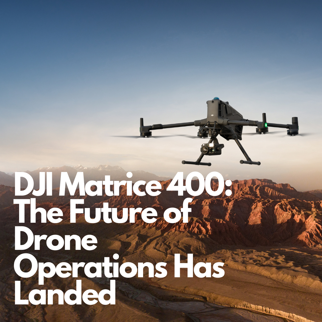
DJI Matrice 400: The Future of Drone Operations Has Landed
The drone industry has reached a new milestone with latest flagship DJI Enterprise drone the Matrice 400. This drone is a full-scale aerial solution built to meet the highest standards of industry performance in sectors like construction, emergency response, surveying, and infrastructure inspection. With unmatched versatility, advanced obstacle sensing, and superior payload capacity, this flagship platform sets a new benchmark for drone operations across Ireland and beyond.
Key Features
Extended Flight Performance
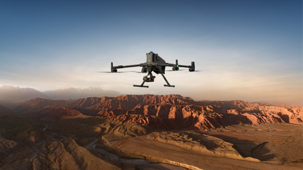
The Matrice 400 delivers exceptional operational capabilities with up to 59 minutes of flight time, even when carrying payloads. This extended flight duration, combined with hovering capabilities of up to 53 minutes, makes it perfect for comprehensive site surveys and continuous monitoring operations across Ireland’s diverse landscapes.
With a maximum flight speed of 25 m/s, the drone can efficiently cover large construction sites while maintaining its ability to detect and avoid obstacles like buildings and terrain features.
Power-Line-Level Obstacle Detection
One of the most impressive features is the integrated rotating LiDAR and mmWave radar system that provides power-line-level obstacle detection. This advanced sensing technology can detect even small obstacles like high-voltage power lines across mountainous terrain, even in complete darkness. For sites near power infrastructure, this capability ensures unprecedented safety levels.
Weather-Resistant Design
Built for Ireland’s challenging weather conditions, the Matrice 400 features an IP55 protection rating, allowing reliable operation in heavy dust or rain. The drone maintains stable performance across temperatures from -20°C to 50°C, making it suitable for year-round operations in Irish climate conditions.
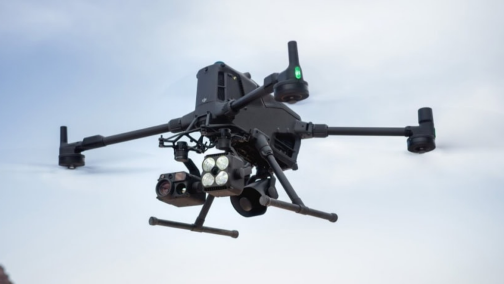
Payload Capacity
With a maximum payload capacity of 6 kg, the Matrice 400 can simultaneously carry multiple sensors and equipment. The platform supports seamless switching between single and dual downward gimbals, plus features 4 external E-Port V2 ports enabling the mounting of up to 7 payloads simultaneously.
Applications in Irish Construction
Site Surveying and Mapping
The Matrice 400 excels in large-scale site mapping, providing high-precision data collection for project planning and monitoring. Its Real-Time Terrain Follow capability ensures consistent ground sampling distance (GSD), crucial for accurate surveying across Ireland’s varied topography.
Infrastructure Inspection
For Ireland’s extensive infrastructure projects, the drone’s advanced sensors and Smart AR Projection capabilities make it ideal for:
- Bridge inspections across rivers and valleys
- Power line monitoring
- Building facade surveys for restoration projects
- Wind turbine inspections along Ireland’s coastline
- Large size quarry surveys
Progress Monitoring
With its extended flight time and intelligent flight modes, the Matrice 400 can provide comprehensive progress documentation for large projects, automatically creating detailed reports and 3D models for stakeholder presentations.
Safety and Emergency Response
The drone’s Smart Detection capabilities, combined with thermal imaging, make it invaluable for site safety monitoring and emergency response situations.
Versatile Payload Options
The Matrice 400 supports an impressive range of professional payloads:
Zenmuse H30 Series
Integrates five major modules including wide-angle camera, zoom camera, infrared thermal camera, laser range finder, and NIR auxiliary light – perfect for comprehensive site documentation.
Zenmuse L2
Frame-based LiDAR system with high-accuracy IMU and 4/3 CMOS RGB mapping camera, providing precise geospatial data acquisition for detailed construction surveys.
Zenmuse P1
Full-frame sensor with interchangeable lenses designed specifically for photogrammetry missions, taking efficiency and accuracy to new levels.
Zenmuse S1 & V1
Spotlight and loudspeaker systems ideal for nighttime operations and emergency communications on construction sites.
Manifold 3
Compact computing unit with 100 TOPS of processing power, enabling real-time data processing and AI-powered analysis.
Software Integration
DJI FlightHub 2
Enhanced specifically for the Matrice 400, this cloud-based platform enables:
- Remote control capabilities
- Advanced flight route planning including slope and geometric routes
- Multi-drone operation management
- Live streaming and real-time collaboration
DJI Terra
Professional 3D reconstruction software that creates accurate 2D and 3D models using visible light data and point cloud processing – essential for construction documentation and progress tracking.
DJI Modify
Intelligent 3D mesh and point cloud model editing software that complements the surveying workflow, providing comprehensive model repair and sharing capabilities.
Advanced Flight Capabilities
The Matrice 400 includes several intelligent flight modes specifically beneficial for construction applications:
- Cruise Control: Ideal for linear inspections and long-distance site surveys
- FlyTo: Automated navigation to designated locations with environmental awareness
- Smart Track: Precise subject positioning with automatic zoom adjustments
- POI (Point of Interest): Continuous observation for 3D building modelling
The DJI Matrice 400 represents a quantum leap in enterprise drone technology, perfectly suited for Ireland’s dynamic Unmanned Aerial Systems (UAS) industry. With its exceptional flight endurance, advanced sensing capabilities, weather resistance, and comprehensive payload options, it addresses the unique challenges faced by Irish UAS professionals.
From detailed site surveys across Ireland’s diverse landscapes to complex infrastructure inspections, the Matrice 400 provides the reliability, precision, and versatility needed for modern construction projects. Its intelligent flight modes and comprehensive software ecosystem make it an invaluable tool for project managers, surveyors, and safety professionals.
For more detailed information about the DJI Matrice 400 and how it can benefit your UAS Operations, contact us at info@surveydrones.ie