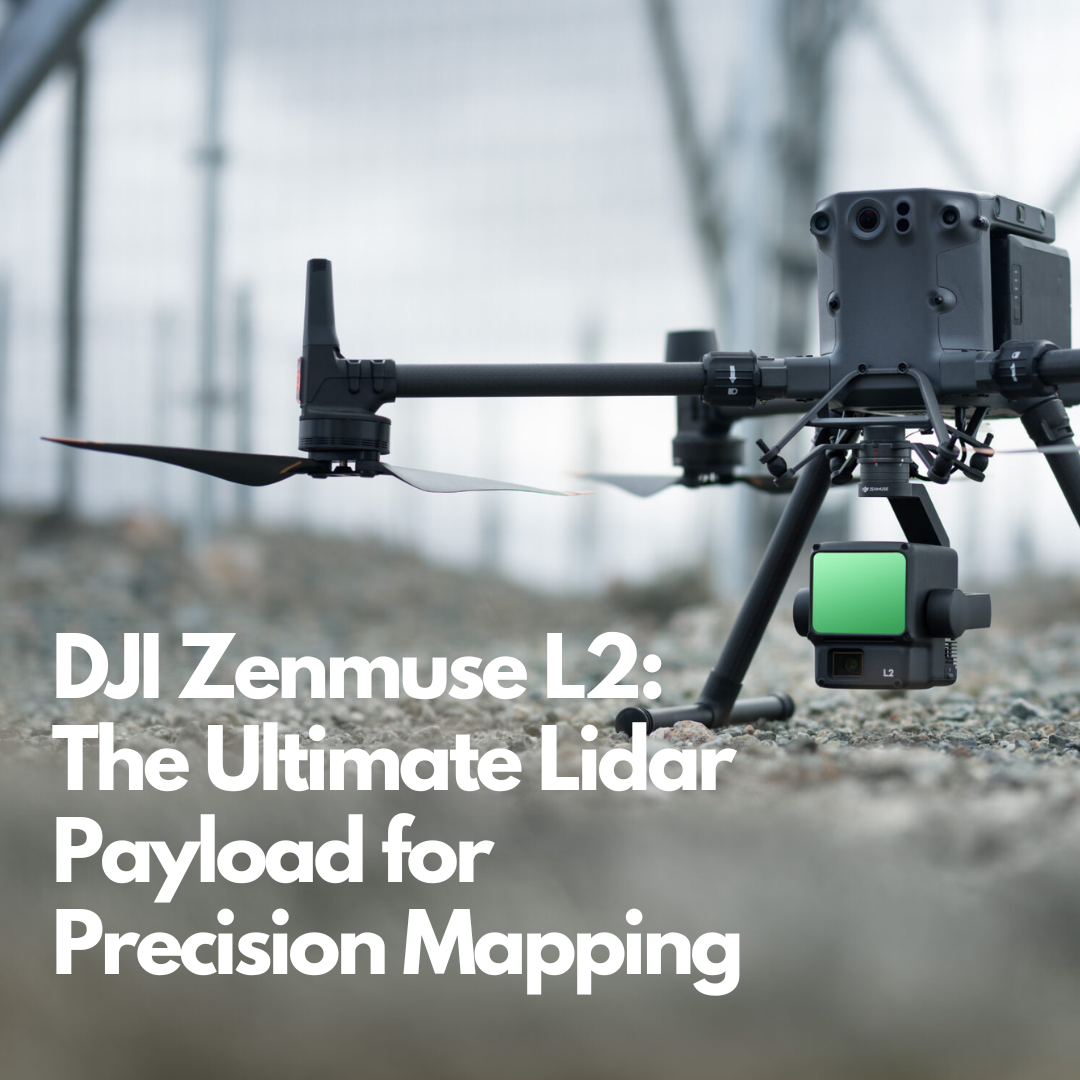
DJI Zenmuse L2: The Ultimate Lidar Payload for Precision Mapping
In the world of aerial surveying and mapping, precision is paramount. Revolutionise scanning industry with the DJI Zenmuse L2 the ultimate payload option from DJI. Whether you’re a surveyor, engineer, or construction professional, the Zenmuse L2 bring the high precision LiDAR system for the more efficient 3D data collection. Designed to use with DJI Enterprise RTK drones, Matrice 350 RTK and Matrice 300 RTK.
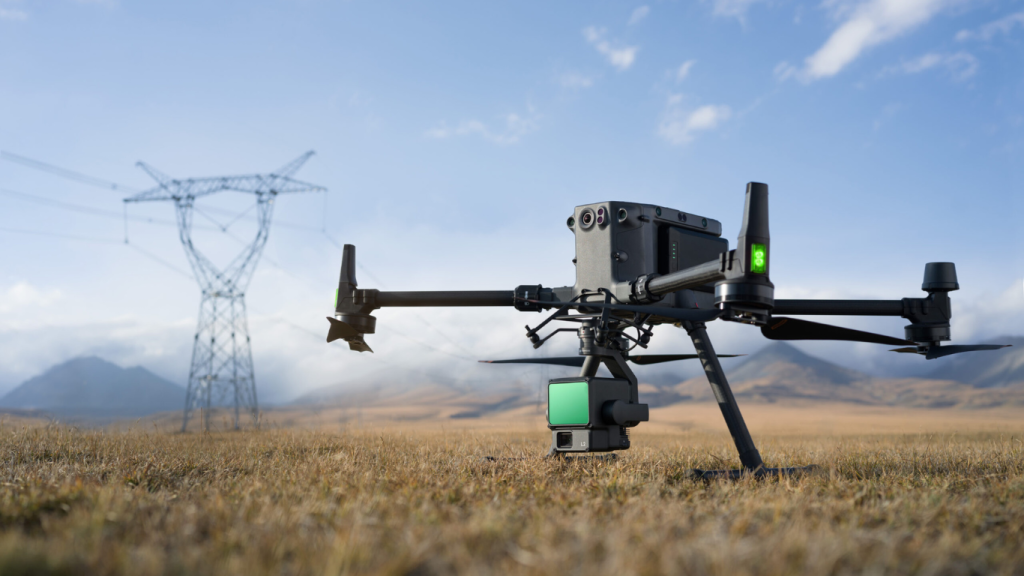
Key Features of the DJI Zenmuse L2.
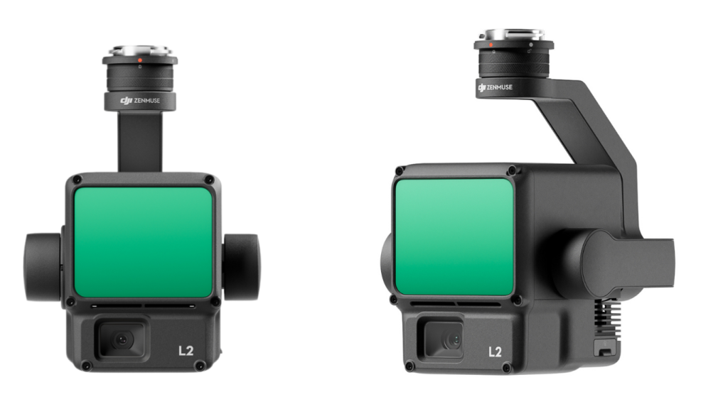
High-Precision Lidar Scanning
The Zenmuse L2 boasts a remarkable detection range of 250 meters, allowing for extensive coverage in a single flight. Combining with GNSS system with a point rate of up to 430,000 points per second and vertical accuracy 4cm, it captures incredibly detailed 3D data of your survey area.
IMU System
The DJI IMU System (Internal Measurement Unit) automatically combines with DJI RTK drone positioning system and Zenmuse L2 get an access to the drone position, speed and attitude information. Using this information it’s allowed to improve the L2 precision.
Integrated RGB Camera
The 12MP camera works in tandem with the Lidar sensor, providing colour information to enhance your point cloud data. This fusion of Lidar and photogrammetry results in rich, detailed 3D models.
Real-Time Point Cloud Generation
One of the standout features of the Zenmuse L2 is its ability to generate point clouds in real-time. This allows for on-site RGB data verification, saving time and potentially reducing the need for repeat surveys with the scanning area up to 2.5 km2 in a single flight.
Versatile Compatibility
Designed to work seamlessly with DJI’s Matrice 300 RTK and Matrice 350 RTK drones, the Zenmuse L2 integrates smoothly into existing DJI ecosystems.
One-click data processing
The seamless integration between Zenmuse L2 and DJI Terra allow you efficiently transform 3D point data and DEMs with one click. This integration save time to ensure your data is process in hight quality.
IP54 Rating
With its robust build and weather-resistant design, the Zenmuse L2 can operate in challenging environments, ensuring data collection continues even in less-than-ideal conditions.
Applications of the DJI Zenmuse L2.
The versatility of the Zenmuse L2 Lidar payload makes it invaluable across various industries:
Surveying and Mapping
Create highly accurate topographic maps and 3D models of large areas with unprecedented efficiency.
Construction
Monitor progress, perform volumetric calculations, and create as-built surveys with ease.
Infrastructure Inspection
Capture detailed 3D data of bridges, towers, and other structures for maintenance and inspection purposes.
Forestry
Analyse canopy height, density, and biomass with precision, aiding in forest management and conservation efforts.
Power Line Inspection
Identify potential hazards and map power line corridors accurately, enhancing maintenance and planning processes.
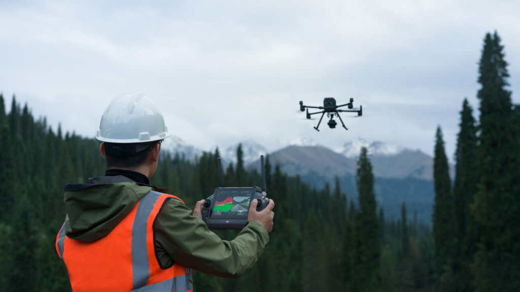
Why Choose the DJI Zenmuse L2?
The Zenmuse L2 represents a significant leap forward in Lidar technology for UAVs. Its combination of high accuracy, real-time processing, and seamless integration with DJI ecosystem makes it a top choice for professionals seeking to elevate their aerial surveying capabilities. Moreover, the Zenmuse L2 ability to capture both Lidar and photogrammetry data simultaneously streamlines workflows and reduces overall project time and costs. The result is a more efficient, accurate, and comprehensive data collection process.
Getting Started with the DJI Zenmuse L2
To make the most of this powerful Lidar payload, proper training and certification are essential. At Survey Drones Ireland, we offer comprehensive training programs to help you master the DJI Zenmuse L2 and its associated software.
Our team of experts can guide you through the intricacies of Lidar data collection, processing, and analysis, ensuring you’re well-equipped to leverage this technology for your specific needs.
Ready to take your surveying and mapping capabilities to new heights? Contact Survey Drones Ireland today to learn more about the DJI Zenmuse L2 and how it can revolutionize your workflow.
DJI Terra & L2 Processing
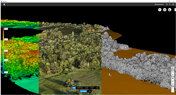
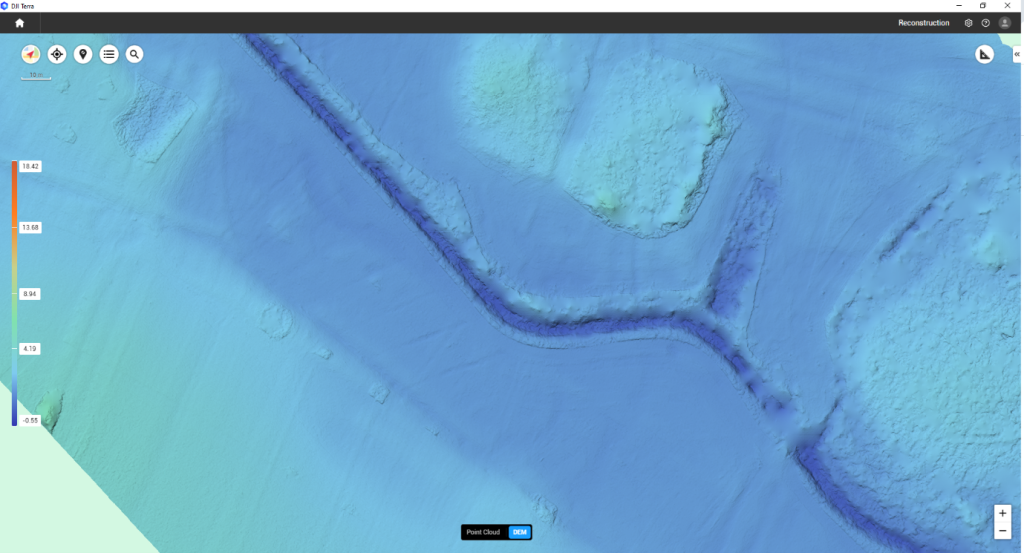
L2 Data collection can only be processed with DJI Terra, the workflow is straightforward and very effective. The processing options are Point cloud, DEM, Contours, Ground Point Classification & Advanced features (Selecting your Co-Ord System). There are many other features to this processing software which we can give you training on. Below are some examples from a recent flight conducted.
Interested in experiencing the power of the DJI Zenmuse L2 firsthand? Choose from the two available options: Zenmuse L2 Worry-Free Basic Combo and Zenmuse L2 Worry-Free Plus Combo. Contact us at info@surveydrones.ie or contact our offices in Cork (021) 423 2957 or Dublin (01) 456 8650 to schedule your demo or discuss your specific options.
Let’s elevate your surveying game together!
