How Pix4D Mapper and DJI Revolutionizing Every Phase of Construction
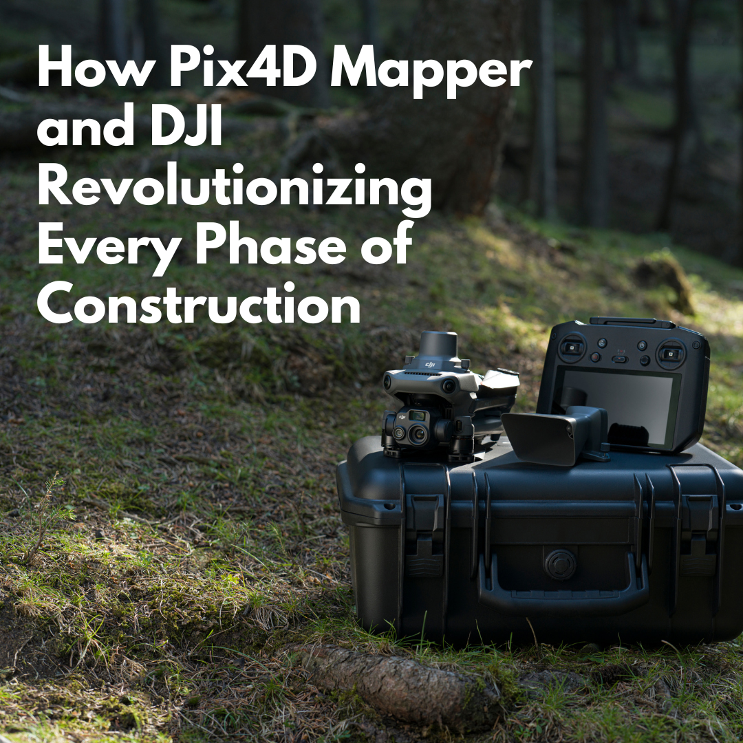
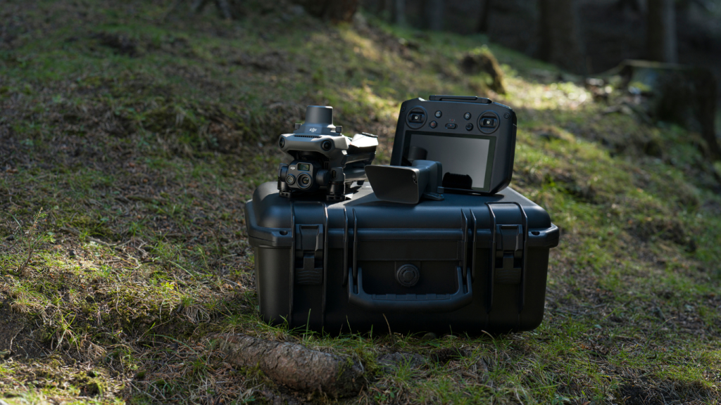
In the world of construction, every project is a journey. The Pix4Dmapper and DJI’s advanced drones improving every phase, from the first survey of the bare earth, precise measurement to the problem resolution. The main aspect to this transformation is the seamless integration of Pix4Dmapper and the Mavic 3 Enterprise. Engineered for a wide range of commercial applications. This industrial-grade drone boasts a streamlined, portable, and compact design. With 45-minute flight makes it well-suited of all survey construction missions.

DJI Mavic 3 Enterprise – Main Features for Construction
- 20 MP wide-angle camera with a 4/3 CMOS sensor: This sensor, with large 3.3μm pixels and Intelligent Low-Light Mode, offers significantly improved performance in dim conditions.
- Powerful up-to-56x hybrid zoom camera: With an equivalent focal length of 162mm for 12MP images, this camera provides detailed visual data from a distance.
- Mechanical shutter: Prevents motion blur and supports rapid 0.7-second interval shooting for precise data capture.
Compact and Portable
- Lightweight airframe (915g/920g): The compact body fits in the palm of your hand, making it perfect for both beginners and veteran pilots alike.
- Ultra-long battery life: With a 45-minute max flight time, a 100W charging hub for fast charging batteries, and 88W drone direct charging, the Mavic 3 Enterprise ensures minimal downtime.
Flagship Flight Safety
- Omnidirectional obstacle sensing: Wide-angle lenses provide obstacle sensing with zero blind spots.
- Advanced Return-To-Home (RTH): Ensures the drone returns safely.
- APAS 5.0: Automatic rerouting around obstacles for seamless operation.
Site Selection and Initial Survey
Before any groundwork begins, developers must choose the right location. Here, the Mavic 3E RTK shines. Its compact size allows it to be quickly deployed at any potential sites. The drone captures both visible terrain features and subtle variations that traditional surveys might miss.
Pix4Dmapper then takes this high-resolution imagery and transforms it into accurate 3D terrain models. Its sophisticated algorithms detect even the slightest elevation changes. This comprehensive understanding helps developers make data-driven decisions about site suitability.
Design and Planning
With the site chosen, designers take centre stage. They use the Mavic 3E RTK to capture the surrounding urban context in high detail. Pix4Dmapper’s photogrammetry engine processes these images into incredibly detailed 3D city models.
These models are more than pretty pictures. Georeferenced to the centimetre thanks to the drone’s RTK capabilities, this allows designers to place their skyscraper designs in their exact future location.
Earthwork and Foundation
As heavy machinery rolls in, the Mavic 3E RTK becomes indispensable. Regular drone flights update Pix4Dmapper’s terrain model in real-time. This 4D view (3D + time) acts as a dynamic volume calculator, showing exactly how much earth has been moved and what challenges lie ahead.
For deep foundation work, the drone’s high-resolution imagery enables Pix4Dmapper to monitor progress with incredible accuracy. Every caisson, every pile cap is checked to ensure it is at the right depth and angle—critical when you’re anchoring a skyscraper into bedrock.
Vertical Construction and Quality Control
As the structure rises, daily Mavic 3E RTK flights capture its progress. Pix4Dmapper turns these images into a detailed 4D model—a “time machine” for your project. If an MEP (Mechanical, Electrical, Plumbing) clash is discovered on an upper floor, past models can pinpoint exactly when and how the issue crept in.
Quality control gets a boost too. Pix4Dmapper’s deviation analysis, fed by the drone’s high-res imagery, can spot issues invisible from the ground, like a slight tilt in curtain wall frames that could lead to future leaks. For safety, the software creates detailed site maps from the drone’s wide-area scans, revealing evolving hazards such as unguarded edges or unsafe material stacks.
Final Touches and Handover
Even as the skyscraper nears completion, this duo keeps working. The Mavic 3E RTK captures every exterior detail, while also providing data for interior scans. Pix4Dmapper merges all this into a “digital twin”—an exact 3D replica.
This model becomes an interactive as-built record. Tenants can virtually test furniture layouts. Maintenance teams plan based on precise MEP locations. Some projects even embed IoT data, turning the model into a live building management dashboard.

The Mavic 3E RTK’s strengths—high-res imagery, RTK precision, and versatile flight performance—combine perfectly with Pix4D Mapper’s analytical power. Together, they offer:
- Centimeters-accurate 3D modelling
- Real-time progress tracking
- Early issue detection
- Enhanced safety monitoring
- Interactive digital twins
At Survey Drones Ireland we offer selection of trainings dedicated to your needs. Please, check our website – https://surveydrones.ie/training-courses/ or contact directly with the team at info@surveydrones.ie.
