Pix4D Software Solutions: Unlocking the Power of Mapping, Reality Capture, and Surveying.
As drone technology continues to revolutionize industries, Pix4D software solutions provide powerful tools for professionals in mapping, construction, surveying, and inspection. Whether you need high-accuracy mapping, reality capture, or advanced survey data processing, Pix4DMapper, Pix4DCatch, and Pix4DSurvey offer pioneering solutions to streamline your workflow. Let’s explore these three industry-leading software products, their key features, and where they can be applied.
Pix4DMapper: The Leading Photogrammetry Software
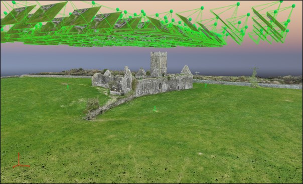
Pix4D Mapper is the flagship photogrammetry software designed to convert drone and aerial images into highly accurate 2D maps and 3D models. This software is widely used by professionals in surveying, construction, and agriculture.
Key Features of Pix4DMapper
Automatic Image Processing – Converts drone images into georeferenced maps and models using advanced photogrammetry algorithms.
Accurate 3D Reconstructions – Generates dense point clouds, 3D meshes, and digital terrain models (DTMs).
Custom Processing Settings – Offers full control over processing parameters for tailored outputs.
Ground Control Points (GCP) Support – Enhances geospatial accuracy with GCPs and RTK/PPK corrections.
Seamless Cloud Integration – Allows cloud-based processing for faster results and easy collaboration.
Industries Using Pix4DMapper
Surveying & Mapping – Create topographic maps and 3D models for land development.
Construction & Infrastructure – Track project progress and conduct site analysis.
Agriculture – Generate NDVI maps for crop health monitoring.
Mining & Quarrying – Measure stockpile volumes and analyse site changes.
Environmental Monitoring – Assess land use, forestry, and disaster response planning.
Pix4DMapper Licence options are:
- Monthly Licence – €290.00
- Yearly Licence – €2,900.00
- Perpetual Licence – €4690.00
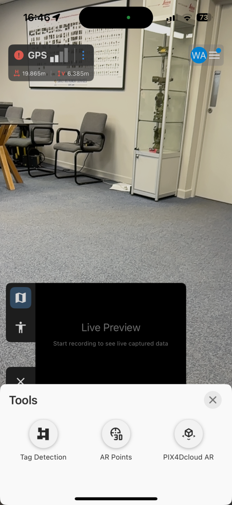
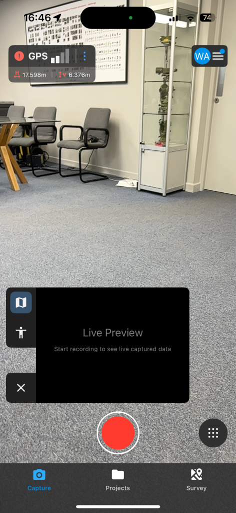
Pix4DCatch: Reality Capture for Mobile Devices
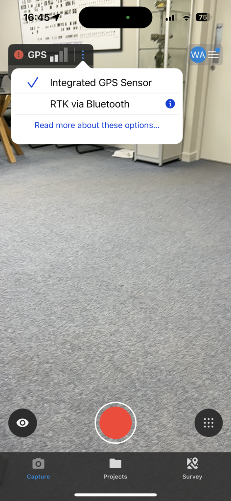
Pix4D Catch is a mobile app designed for real-time 3D reality capture using smartphones or tablets. By using LiDAR-enabled devices or standard cameras, professionals can easily scan and document their surroundings with centimetre-level accuracy.

Key Features of Pix4DCatch
LiDAR & Photogrammetry Support – Captures high-resolution spatial data using LiDAR or traditional RGB imagery.
Georeferenced Scans – Compatible with RTK GNSS receivers for highly accurate positioning.
Instant Data Capture & Upload – Processes data in real time and integrates seamlessly with Pix4D Cloud.
User-Friendly Interface – Requires minimal training to create detailed 3D models.
Integration with Pix4D Cloud & Survey – Easily transfers data for further analysis and measurements.
Industries Using Pix4D Catch
Construction & Infrastructure – Perform on-site documentation and inspections.
Forensics & Accident Reconstruction – Capture accurate evidence and scene data.
Archaeology & Cultural Heritage – Digitize and preserve historical sites.
Facility Management – Create digital twins for maintenance and planning.
Disaster Response – Document damage and assess affected areas.
Pix4DCatch Licence options are:
Discovery – free, allows to explore Pix4DCatch and experiment with 3D scanning.
Standard – give you access to all the features from Discovery plus data export/import.
Professional – include access to premium features like: RTK connection capability, automatic GCPs and tie points, detection with Pix4D Auto tag.
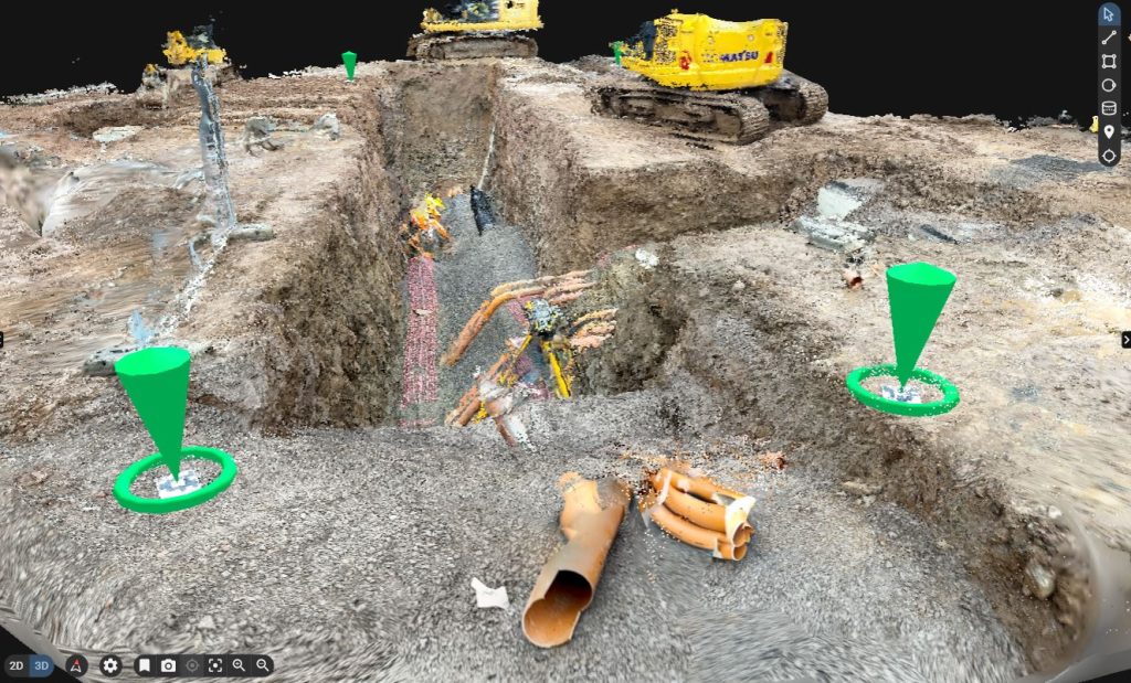
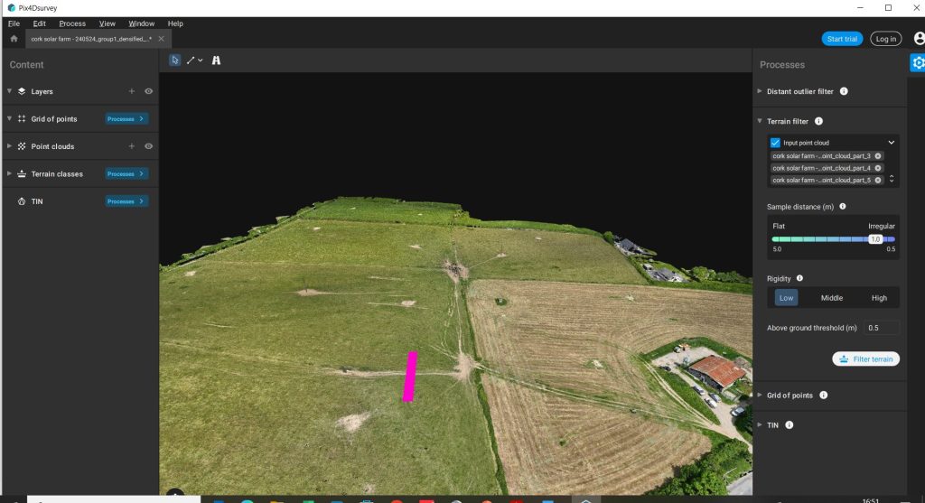
Pix4D Survey: Bridging Photogrammetry & CAD for Surveying
Pix4D Survey is designed for surveyors who need to extract precise data from photogrammetry models and integrate it with CAD workflows. This software simplifies the transition from drone mapping to actionable vector-based outputs.

Key Features of Pix4D Survey
Point Cloud Classification – Automatically filters ground, buildings, and vegetation for streamlined processing.
Vectorization Tools – Extracts key features (roads, powerlines, contours) directly from 3D models.
Seamless CAD & GIS Export – Generates survey-grade outputs for integration with AutoCAD and GIS platforms.
Tera-Processing Technology – Handles large datasets efficiently without compromising speed.
Contour Line Generation – Produces elevation contours for topographic analysis.
Industries Using Pix4D Survey
Land Surveying – Extract precise features for land development projects.
Urban Planning – Design road networks and infrastructure layouts.
Utilities & Power Line Inspection – Map and analyze power line corridors.
Forestry Management – Generate detailed terrain models for environmental studies.
Transportation & Railways – Plan routes and assess infrastructure conditions.
Pix4D Survey licence options are:
- PIX4Dsurvey Monthly Licence – €200.00
- PIX4Dsurvey Yearly Licence – €2,000.00
- PIX4Dsurvey Perpetual Licence – €4,490.00
Why Choose Pix4D Software?
Pix4D software is designed to provide professionals with high-precision mapping, surveying, and reality capture solutions. It seamlessly integrates with drones, mobile devices, and CAD/GIS platforms, making it a versatile tool for various industries. Whether you need to process aerial imagery, capture real-world data with mobile devices, or extract survey-grade information, Pix4D offers a complete workflow from data collection to final analysis.
With its advanced automation, scalability, and continuous innovation, Pix4D remains a trusted choice for surveyors, engineers, and geospatial professionals worldwide. Its ability to handle projects of any size ensures efficiency, accuracy, and reliability in every task.
PIX4D in the Educational Industry
Within Ireland, PIX4D software is increasingly becoming a valuable tool in the educational industry, particularly within university and college geography or geoscience departments. This advanced photogrammetry software allows for the creation of detailed 3D models and maps using images captured by drones, and its integration into academic settings is enhancing the learning experience for students. In institutions such as University College Dublin and Munster Technology University, in geography or geoscience departments are incorporating PIX4D into coursework and research, enabling students to gain hands-on experience with cutting-edge geospatial technology. The use of PIX4D supports a more practical and immersive understanding of topography, land use, urban planning, and environmental change, topics that are central to modern geographical studies. Students can carry out drone-based surveys of specific sites, process the imagery through PIX4D, and analyse the resulting outputs to draw conclusions about natural and human-influenced landscapes. This aligns with the growing need for graduates to have real-world technical skills that are directly applicable in fields such as GIS (Geographic Information Systems), environmental consultancy, and urban development.
Furthermore, PIX4D is also being used for research projects focused on climate change, coastal erosion, and rural development, among others. Its user-friendly interface and powerful capabilities make it an ideal choice for both teaching and academic research. The adoption of PIX4D across Irish educational institutions reflects a broader trend of integrating digital tools and technology into traditional disciplines to better prepare students for evolving career landscapes. As drone technology and geospatial software continue to develop, the role of PIX4D in education is likely to expand, helping to bridge the gap between theoretical learning and practical application.
For the Educational sector, PIX4D have discounted the costs of the software. For future information on this please font hesitate to get in touch.
If you need further advice on this, please send an email to info@surveydrones.ie or fill in the contact page on this website.