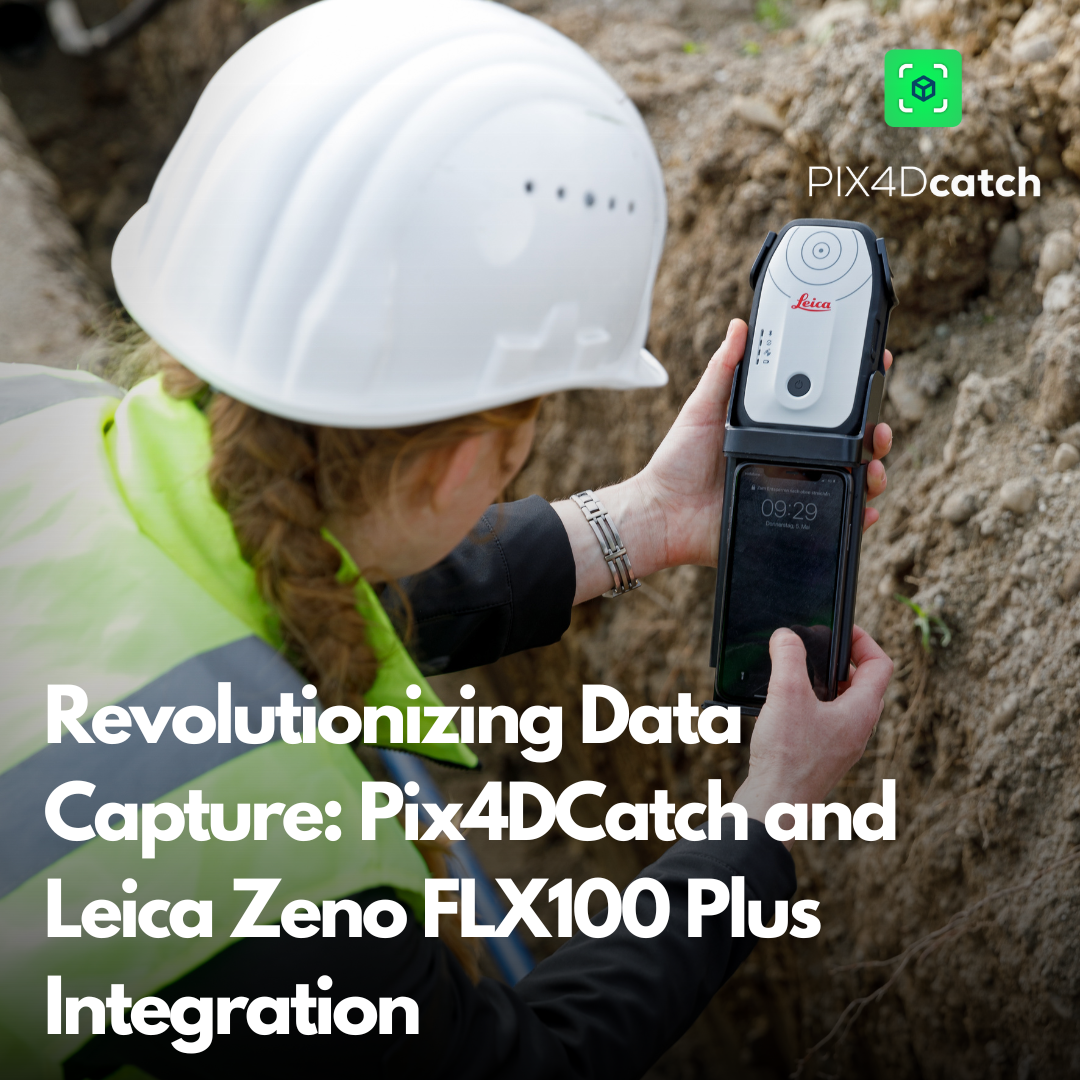
Revolutionizing Data Capture: Pix4DCatch and Leica Zeno FLX100 Plus Integration
In an exciting development for surveyors and geospatial professionals, Leica Geosystems and Pix4D have announced the integration of Pix4DCatch with the Leica Zeno FLX100 Plus GNSS System. This powerful combination brings together advanced mobile 3D scanning technology with high-precision GNSS positioning, opening up new possibilities for efficient and accurate data capture in various industries.
Pix4DCatch: Mobile 3D Scanning Made Easy
Pix4DCatch is a mobile application that transforms your smartphone into a powerful 3D scanning device. It offers:
- Precise 3D scans and Augmented Reality (AR) capabilities
- User-friendly interface for streamlined surveying
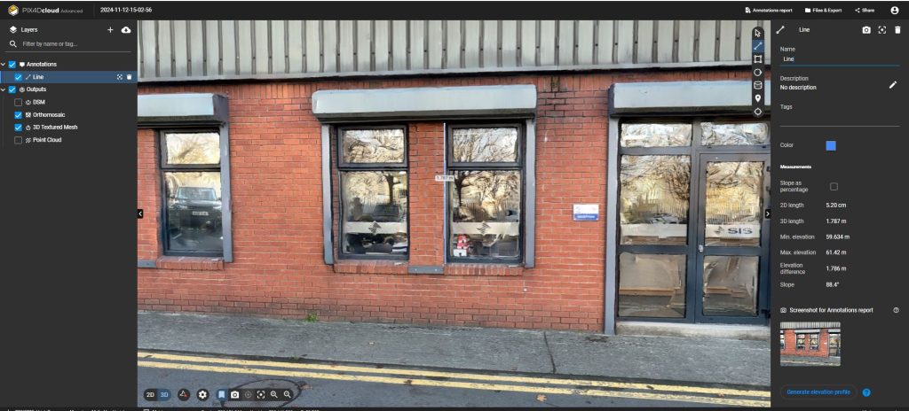
- Integration with PIX4Dmatic and PIX4Dcloud for seamless data processing and sharing
Different project for various industries.
Utilities and subsurface mapping: Quick trench scans for documenting subsurface utilities, with AR visualization even after closure.
Construction verification and earthworks: Overlay designs, measure volumes, and reduce costs.
Civil engineering and site verification: Compare real sites with CAD files and facilitate collaborative work.
Forensics scene capture: Create detailed 3D models by merging drone and phone data.
Land surveying: Streamline workflows with easy data processing and report sharing.
Leica Zeno FLX100 Plus GNSS System: Precision in a Portable Package
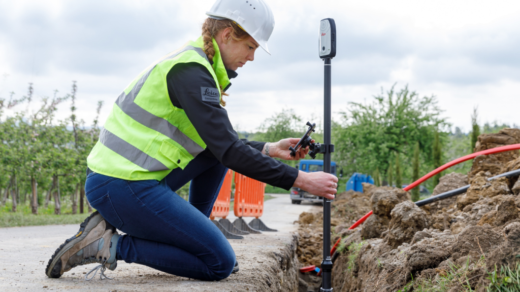
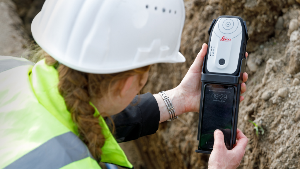
The Leica Zeno FLX100 is a smart antenna designed for flexible and simple spatial data capture. Its features include:
- <2 cm horizontal (2D) accuracy
- Ultra-portable and rugged design
- Flexible setup handheld or pole
- Compatible with iOS, Android or Windows
- Water and dust resistance, with drop protection from 1.2 meters
- 2-year warranty with professional service and support
This system is ideal for trench inspections, as-built documentation, and site surveys, offering a robust solution for precise field data capture.
Smartphone-based Documentation and Verification: A Step-by-Step Guide
The integration of Pix4DCatch and the Leica Zeno FLX100 Plus creates a powerful tool for documentation and verification. Here’s how to use this combination effectively:
Setup: Attach the Leica Zeno FLX100 Plus RTK device to your smartphone.
Connect: Open the Pix4DCatch app on your phone and establish a connection with the Zeno FLX100 Plus.
Capture: Begin capturing the site. Pix4DCatch will automatically record video frames along with positional and orientation information.
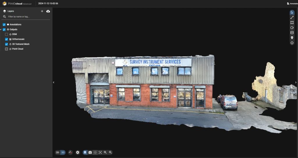
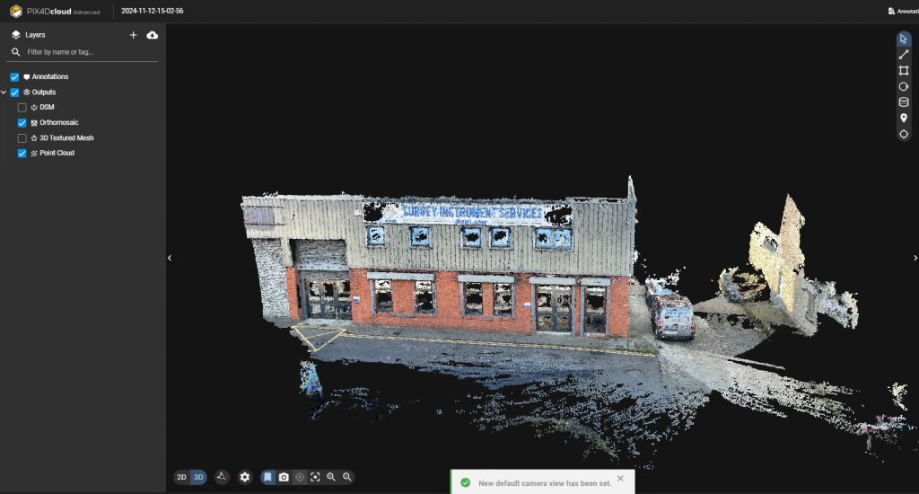
Real-time Feedback: Experience AR feedback on your scan’s coverage and completion through a 3D mesh overlay and point cloud live viewer.
Process: Upload your data to Pix4Dcloud or export it to Pix4Dmatic for further processing.
Vectorize: Convert your 3D data into vector formats (DXF/SHP) for use in CAD or GIS software.
AR Visualization: When revisiting the site, use the AR display to “see through” concrete and visualize subsurface features.
The integration of Pix4DCatch and the Leica Zeno FLX100 Plus GNSS System represents a significant leap forward in mobile data capture technology. This combination offers unparalleled accuracy, efficiency, and ease of use for professionals across various industries. From utility mapping to forensics and land surveying, this integrated solution provides the tools needed to streamline workflows, improve documentation, and enhance decision-making processes.
By leveraging the power of smartphone-based 3D scanning with high-precision GNSS positioning, surveyors and geospatial professionals can now capture, visualise, and analyse data with greater accuracy and convenience than ever before. As we continue to see advancements in mobile technology and geospatial solutions, the Pix4DCatch and Leica Zeno FLX100 Plus integration stands out as a prime example of how innovation can drive efficiency and accuracy in the field. If you’re looking to get more information about those products, please contact us at info@surveydrones.ie.
