PIX4Dfields
Capture
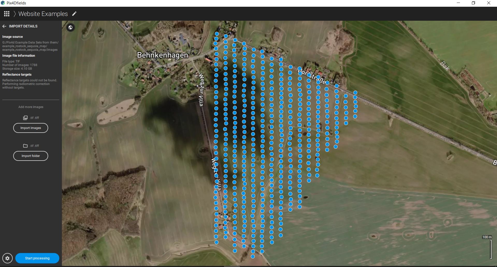
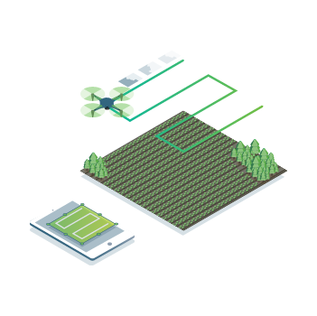
Collect images using a drone and any standard RGB or a selected multispectral camera like Parrot Sequoia+ and MicaSense RedEdge.
Use our PIX4Dcapture app to easily plan and control your drone flight for optimal mapping.
Fast mapping
Process
Analyze
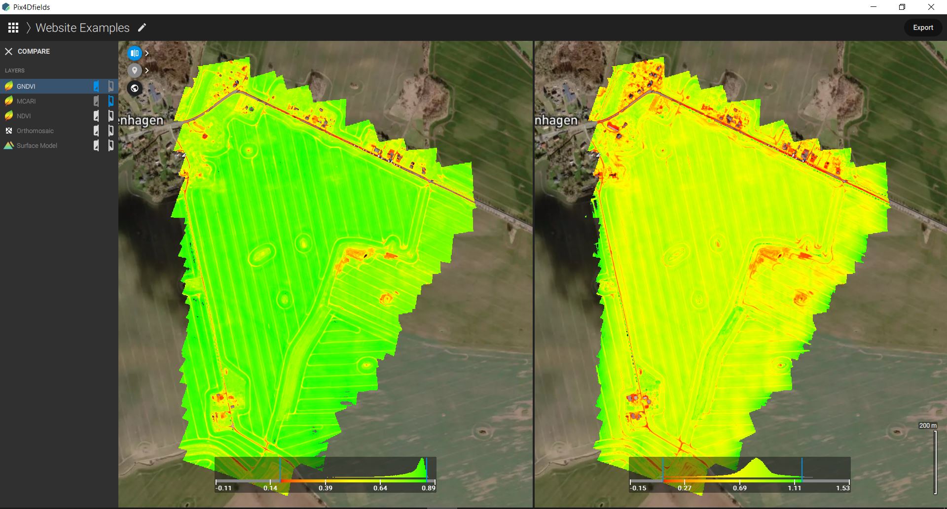
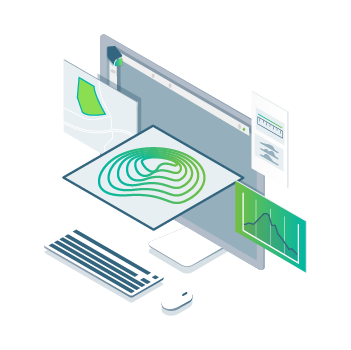
Visualize and understand your crop growth stages and stress levels. Analyze and compare different layers of information for a full insight of your yield performance and use them to increase crop production and reduce costs.
Zonate and prescribe
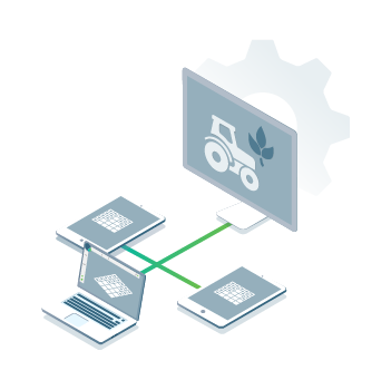
Integrate
Calculate statistics
Product Information
Some of the Outputs from Pix4DFields
-
Orthomosaic
-
Vegetation index maps
-
Zonation maps
-
Prescription maps
-
Annotations
-
Field boundaries
-
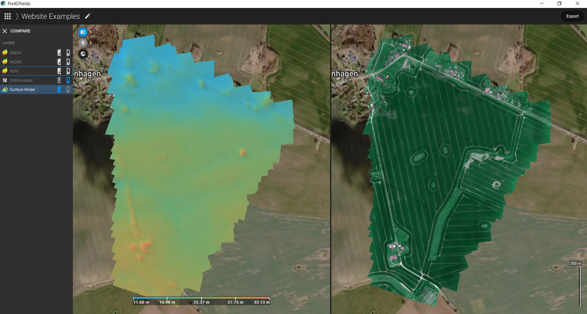
Digital surface model (DSM)
Click on the link for the full Features list PDF.

With Pix4DFields you can achieve an intuitive representation of your fields that helps you scout and identify issues faster. Specify the desired Ground Sample Distance (GSD) for a more or a less detailed output. Used in these applications with the likes of Digital scouting, crop protection & insurance can all be view in the GeoTIFF. Pix4DFields allows you to use a predefined list of vegetation indices like NDVI or use custom index formulas to better understand your crops. You can also use Pix4DFields to create custom zones with information from vegetation index maps.
You can review all your Data created in Pix4DFields in one PDF report for easy sharing and collaborating. With the use of a CSV report you can aggregate all the statistical information you need in a .csv export for easier trial plot management.
FAQ.
PIX4DFields has three different Licences for the Commercial market and two Different Licences for the Educational Market. You can purchase these licences through us. All you have to do is get in touch.
- PIX4D Fields Monthly Licence – €290.00
- PIX4D Fields Yearly Licence – €1,450.00
- PIX4D Fields Perpetual Licence – €3.500.00
For the educational sector we have two options. These licences can only be sold to an educational establishment Schools/Colleges
- PIX4Dfields, Educational, Perpetual license – €1,299.00
- PIX4Dfields, Educational – Yearly rental license – €329.00
Pix4Dfields is a product by Pix4D. An advanced agriculture mapping software for aerial crop analysis and digital farming.
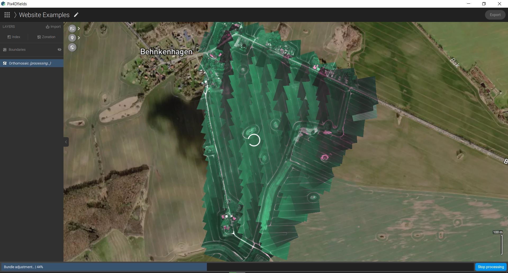
Pix4Dfields uses a direct-to-orthomosaic photogrammetry pipeline optimized for fast processing of smooth terrain from drone imagery. By focusing on this specific domain Pix4Dfields provides high-quality maps processed in a fraction of the time, allowing immediate analysis while still on-site using a laptop computer.
Yes, Pix4Dfields is available for both macOS and Windows.
Recommended
- CPU: Intel® Core™ i3 or AMD Phenom processor (or faster)
- RAM: 4GB RAM (or more)
- Display: 1024×768 display resolution (or higher)
- Hard disk: 4GB HDD free space (more for large datasets)
- SSD with 4x dataset size free space.
- Operating system:
- MacOS: macOS Catalina (10.15) (or newer)
- Windows: Windows 10 (64 Bit).
Each Pix4Dfields license is linked to a Pix4D account. Pix4Dfields can run on one computer at a time, but the license is floating and can be used to log in on any number of computers.
Yes, it is possible to import the exports from Pix4Dmapper (and other software) into Pix4Dfields and vice versa.
Yes, Pix4Dfields is specifically designed to convert images into high-resolution maps, with no cloud or internet connection required. However, note that before using it on a new computer, you will need to activate your license. While connected to the internet, log into your Pix4D account (or create a new one) and select a license so that you can use Pix4Dfields. The software will store this license on your computer until it expires, so you can work offline.
Note: Data sync and the connection to John Deere Operation Center features require internet connection. For more information: Data sync
Pix4Dfields processes RGB images, multispectral images, and the thermal band of the Altum camera.
The following list contains a sample of supported cameras in Pix4Dfields.To see the complete database, download the following file: Camera database of Pix4Dfields
If the camera is not listed in the article, check the camera and its parameters in the Pix4Dfields camera database. If the camera parameters are the same as the ones in the database, Pix4Dfields will be able to read the images. If the camera is not listed in the article, but it is in the camera database, it is recommended to test processing the images in Pix4Dfields using the trial version of the software.
| Manufacturer | Camera | Syntax |
|---|---|---|
| Parrot | Anafi | Anafi_4.0_4608x3456 Anafi_4.0_5344x4016 |
| Sequoia | Sequoia_4.0_1280x960 Sequoia_4.9_4608x3456 Sequoia_4.0_1280x970 Sequoia_4.9_4000x3000 |
|
| MicaSense | Altum | Altum_1.8_160x120 Altum_8.0_2064x1544 |
| RedEdge | RedEdge_5.5_1280x960 | |
| RedEdge-MX
RedEdge-M |
RedEdge-M_5.5_1280x960 RedEdge-M_5.5_960x1280 |
|
| senseFly | S.O.D.A. | S.O.D.A._10.6_5472x3648 S.O.D.A._10.2_5472x3648 |
| DJI | Spark | FC1102_4.5_3968x2976 |
| Mavic Air | FC2103_4.5_4056x3040 | |
| Mavic Pro | FC220_4.7_4000x3000 FC220_4.7_4000x2250 |
|
| Mavic 2 Zoom | FC2204_4.4_4000x3000 | |
| Mavic Enterprise Dual | FC2403_4.5_4056x3040 | |
| Phantom 3 | FC300C_3.6_4000x3000 | |
| Phantom 3 Advanced | FC300S_3.6_4000x3000 FC300S_3.6_4000x2250 |
|
| Phantom 3 Professional | FC300X_3.6_4000x3000 FC300X_3.6_4000x2250 |
|
| Mavic Air 2 | FC3170_4.5_8000x6000 | |
| Phantom 4 | FC330_3.6_4000x3000 FC330_3.6_4000x2250 |
|
| Zenmuse X3 | FC350_3.6_4000x3000 | |
| Zenmuse X5 | FC550_DJIMFT15mmF1.7ASPH_15.0_4608x3456 | |
| Zenmuse X5RAW | FC550RAW_DJIMFT15mmF1.7ASPH_15.0_4608x3456 | |
| Phantom 4 Pro | FC6310_8.8_5472x3648 FC6310_8.8_4864x3648 FC6310_8.8_5472x3078 |
|
| Phantom 4 RTK | FC6310R_8.8_5472x3648 FFC6310R_8.8_4864x3648 |
|
| Phantom 4 Pro V2 | FC6310S_8.8_4864x3648 FC6310S_8.8_5472x3648 |
|
| P4 Multispectral | FC6360_5.7_1600x1300 | |
| Zenmuse X4S | FC6510_8.8_5472x3648 FC6510_8.8_4864x3648 FC6510_8.8_5472x3078 |
|
| Zenmuse X5S | FC6520_DJIMFT15mmF1.7ASPH_15.0_5280x3956 | |
| Zenmuse X7 | FC6540_DJIDL24mmF2.8LSASPH_24.0_6016x4008 FC6540_0.0_5248x3936 |
|
| AeroVironment | Quantix | Quantix_2.6_2432x1824 Quantix_5.2_4864x3648 Quantix_5.4_4864x3648 Quantix_5.4_2432x1824 |
Important: If a camera is not supported in Pix4Dfields, it is possible to process the dataset if a file with the internal camera parameters is provided.
Note: If an RGB or multispectral camera is not supported in Pix4Dfields, it is possible to process the dataset if a file with the internal camera parameters is provided.
Pix4Dfields does not support ground control points (GCPs). If you need to use GCPs for improved accuracy and reconstruction, we recommend that you use Pix4Dmapper.
Pix4Dfields supports processing nadir images captured with a drone camera pointing straight down. If you want to process oblique images, we recommend that you use Pix4Dmapper.
For agriculture purposes, a single grid is recommended. We suggest avoiding double grid flights.
Assuming a relatively flat scene, a flight altitude between 60 and 100m normally gives good results. We do not recommend low-altitude flights (5-20m), they may result in artifacts in the orthomosaic. Please also keep in mind the legal flight altitude at your location.
Pix4Dmapper takes fine-grained local variations in altitude into account when building maps, whereas Pix4Dfields is optimized for representing terrain, using a coarser ground model. If you have a lot of 3D structure in your maps, Pix4Dmapper will give more accurate results for the areas with the 3D structure. However, Pix4Dfields will still give good results on any surrounding terrain.
Both products use the same radiometric correction module to correct individual input images. Pix4Dfields uses a different (faster) method to stitch the images into an orthomosaic.

