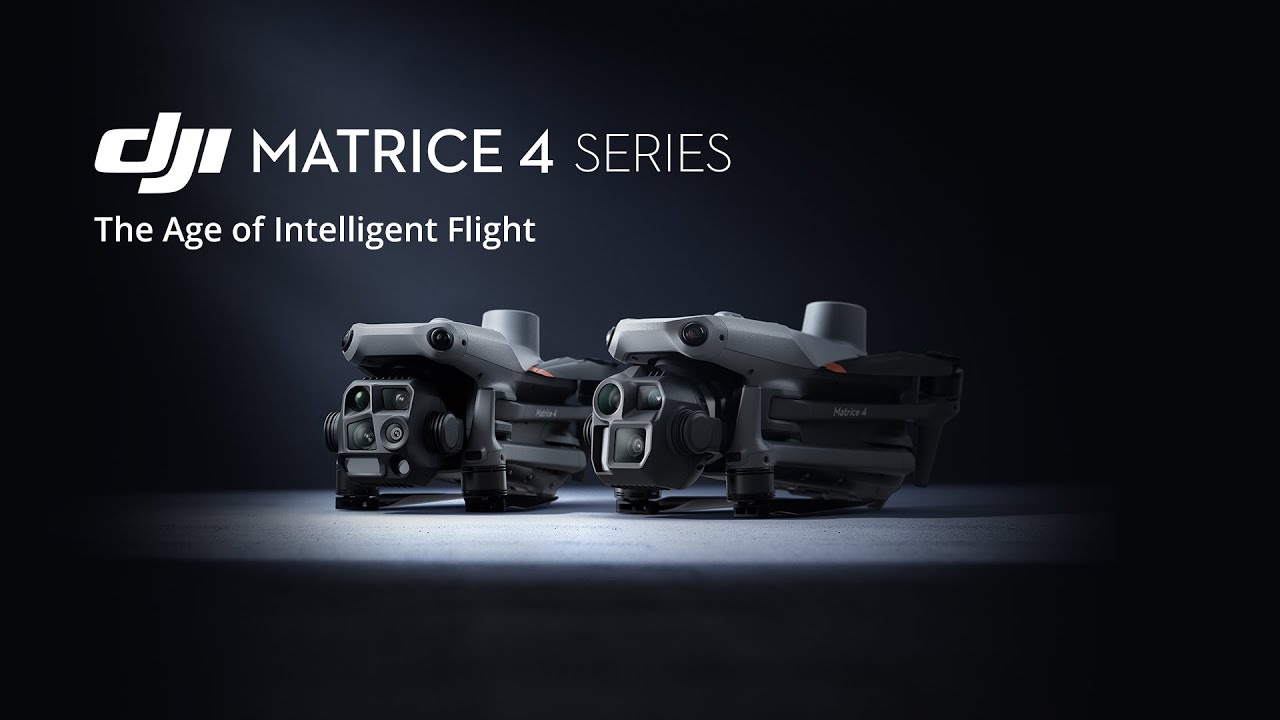
DJI Matrice 4 Enterprise

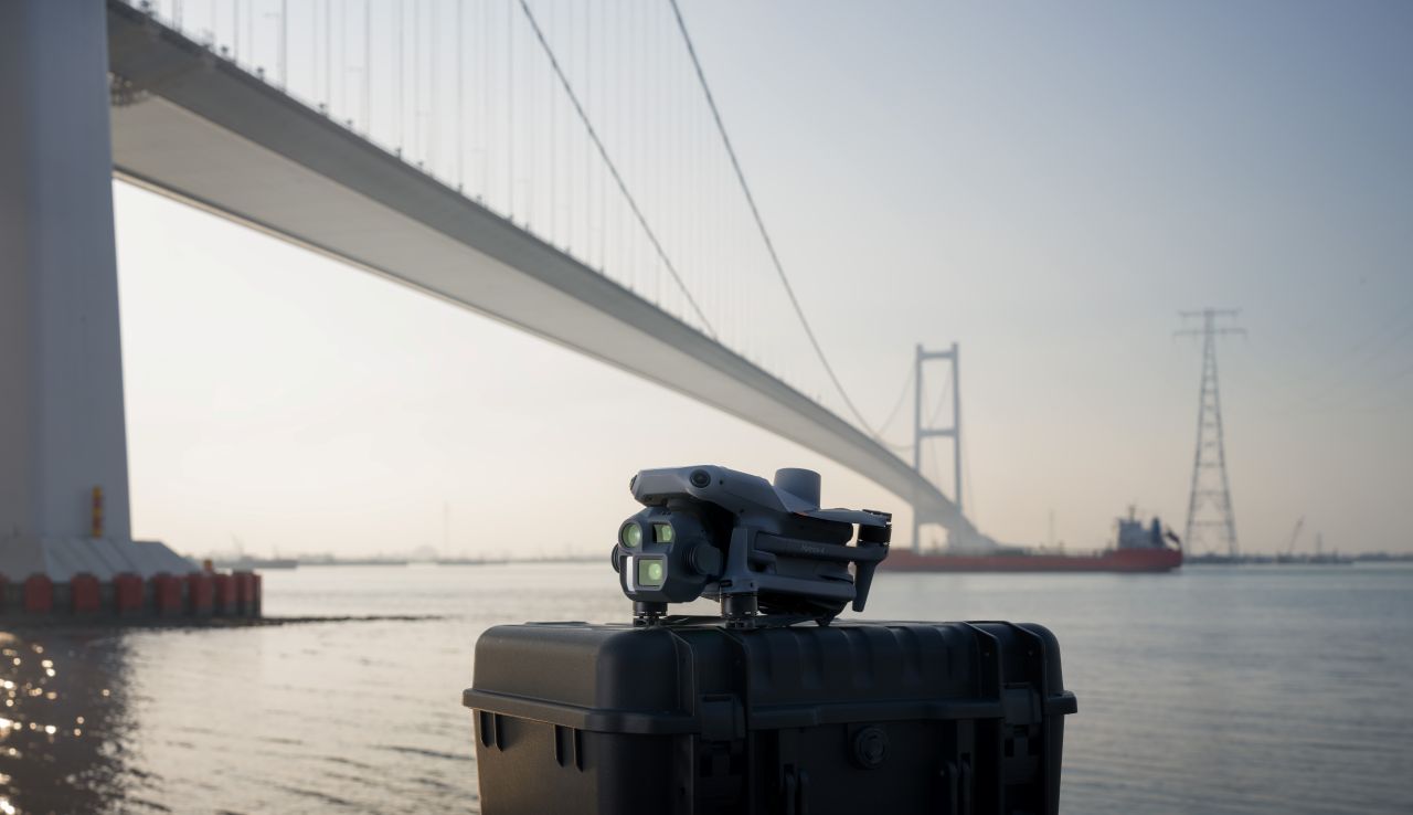
DJI Matrice 4E
Precision Mapping & Surveying Drone
The DJI Matrice 4E is a compact, enterprise-grade drone purpose-built for high-accuracy surveying, mapping, and inspection. Designed to deliver reliable geospatial data in demanding operational environments, the Matrice 4E combines advanced imaging, intelligent flight systems, and robust performance in a highly portable platform.
Optimised for professional workflows, the Matrice 4E is ideally suited to surveyors, engineers, and asset owners who require consistent accuracy, efficiency, and repeatability.
Key Capabilities
High-Resolution Mapping Camera
- Integrated wide-angle camera optimised for photogrammetry
- Supports accurate orthomosaic, DSM, and 3D model generation
- Ideal for land surveys, construction sites, and corridor mapping
RTK-Enabled Accuracy
- Built-in RTK support for centimetre-level positioning
- Reduces reliance on ground control points
- Delivers survey-grade results when integrated with professional processing software
Efficient Survey Operations
- Intelligent flight planning and automated data capture
- High coverage per flight for faster site completion
- Consistent overlap and flight geometry improve data quality
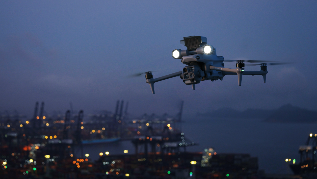
Advanced Safety & Flight Intelligence
- Omnidirectional obstacle sensing for safer operations
- Stable flight performance in complex environments
- Intelligent return-to-home and failsafe systems support regulated operations
Compact & Deployable
- Lightweight, foldable design for rapid deployment
- Suitable for single-operator field missions
- Ideal for mobile survey teams and time-critical projects
Designed for Professional Surveying
The Matrice 4E is engineered to meet the demands of commercial and regulated UAS operations, making it a strong platform for organisations operating under EU Operational Authorisations. Its balance of precision, reliability, and ease of deployment makes it an effective solution for both routine surveys and complex project environments.
Typical Applications
- Land and topographic surveying
- Construction progress monitoring
- Corridor and route mapping
- Infrastructure and asset documentation
- Environmental and land-use mapping
For More Info Contact Us!
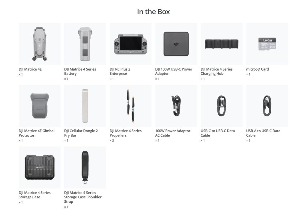
DJI Matrice 4E – Technical Specifications
Matrice 4E, is one of the most advanced DJI Enterprise UAS platforms designed for mapping, surveying, and critical infrastructure inspection.
Aircraft Overview
- Takeoff Weight: 1219 g (standard), 1229 g (low-noise props)
- Max Takeoff Weight: 1420 g (standard), 1430 g (low-noise)
- Max Payload: 200 g
- Dimensions: Folded – 260.6 × 113.7 × 138.4 mm, Unfolded – 307 × 387.5 × 149.5 mm
- Max Flight Speed: 21 m/s (EU-limited to 19 m/s in Sport Mode)
- Flight Time: Up to 49 mins
- Max Range: 35 km (no wind)
- Max Altitude: 6000 m (4000 m with payload)
- Wind Resistance: 12 m/s
- Operating Temp Range: -10°C to 40°C
- Positioning: GPS, Galileo, BeiDou, GLONASS (RTK-enabled)
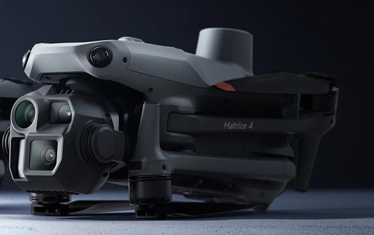
Multisensor Payload – Camera Systems
Matrice 4E (Surveying Drone with RTK)
- Wide: 4/3″ CMOS, 20 MP, mechanical shutter
- Medium Tele & Telephoto: Same as 4T
- No thermal imaging
Imaging & Video Features
- Photo Resolution: Up to 8192 × 6144
- Video: 4K (3840×2160 @30fps), Full HD
- Zoom: Up to 112x Hybrid
- Still Modes: Single, Interval, Smart, Panorama
- Formats: MP4 (H.264/H.265), JPEG / RAW
Obstacle Avoidance & Sensors
- Omnidirectional with 3D Infrared
- Range: Up to 200 m
- Speeds: 21 m/s (lateral), 10 m/s (downward)
- RTK Accuracy: ±1 cm (horizontal), ±1.5 cm (vertical)
Battery System
- Battery: Li-ion 4S, 6741 mAh, 99.5 Wh
- Flight Time: Up to 49 minutes
- Charging: Max 100W via USB-C PD
- Cycle Life: 200+
DJI RC Plus 2 Enterprise Controller
- Screen: 7.02”, 1920×1200, 1400 nits
- Battery: 3.8 hrs (internal), 7+ hrs with WB37
- OS: Android 11, 128 GB internal
- Transmission: O4 Enterprise – Up to 25 km
- Ports: HDMI, USB-A/C, microSD
Expansion & Accessories
- Beacon: Integrated
- Ports: E-Port & E-Port Lite (for PSDK devices)
- Optional Accessories: AL1 Spotlight, AS1 Speaker, RTK Module
- Mounting: Quick-release system
Ideal Use Cases
- Commercial drone for inspection
- Surveying drone with RTK
- Search and rescue, public safety, energy, agriculture