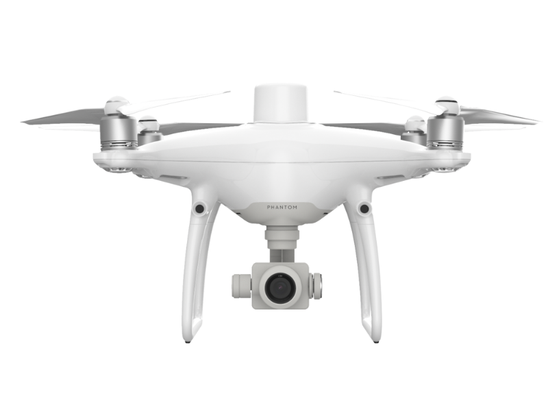
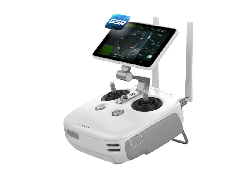
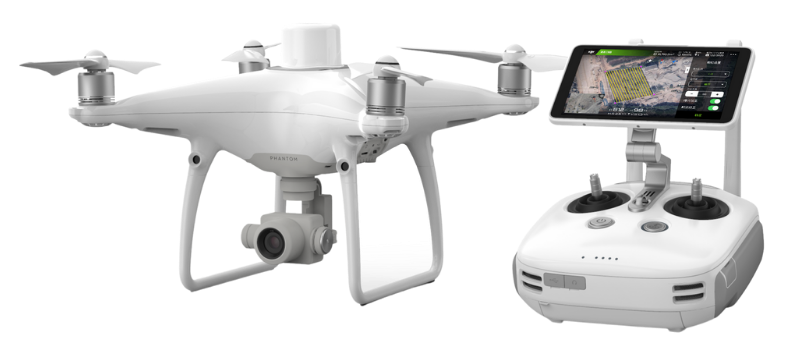
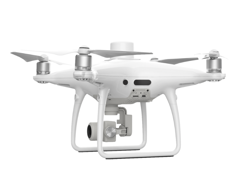
DJI Phantom 4 PRO RTK
DJI Phantom 4 PRO RTK – NEXT GENERATION MAPPING
Price Available On Application. Please Fill Out The Enquiry Form And We Will Guide You With Professional Drone Advice And All Other Relevant Information.
DJI has rethought its drone technology from the ground-up, revolutionizing its systems to achieve a new standard for drone accuracy – offering Phantom 4 RTK customers centimetre-accurate data while requiring fewer ground control points. A new RTK module is integrated directly into the DJI Phantom 4 PRO RTK, providing real-time, centimetre-level positioning data for improved absolute accuracy on image metadata. In addition to optimized flight safety and precise data collection, the Phantom 4 RTK stores satellite observation data to be used for Post Processed Kinematics (PPK), which can be conducted using DJI Cloud PPK Service. Fit the Phantom 4 RTK to any workflow, with the ability to connect this positioning system to the D-RTK 2 High Precision GNSS Mobile Station, or NTRIP (Network Transport of RTCM via Internet Protocol) using a 4G dongle.
If you need further advice on this product please send an email to info@surveydrones.ie or fill in the contact page on this website.
PHANTOM 4 RTK AIRCRAFT SPECS
Weight with Battery and Propellers Fitted
1391 g
Max Service Ceiling Above Sea Level
6000 m
(19685 ft)
Max Ascent Speed
6 m/s (automatic flight)
5 m/s (manual control)
Max Descent Speed
3 m/s
Max Speed
31 mph (50 kph) (P-mode)
36 mph (58 kph) (A-mode)
Max Flight Time
Approximately 30 minutes
Operating Temperature
0° to 40° C
(0° to 40° C)
Operating Frequency
2.400 GHz to 2.483 GHz (Europe, Japan, Korea)
5.725 GHz to 5.850 GHz (United States, China)
EIRP
2.4 GHz
CE (Europe) / MIC (Japan) / KCC (Korea): < 20 dBm5.8 GHz
FCC (United States) / SRRC (Mainland China) / NCC (Taiwan, China): < 26 dBm
Hover Accuracy Range
RTK enabled and functioning properly:
Vertical: ±0.1 m; Horizontal: ±0.1 mRTK disabled:
Vertical: ±0.1 m (with vision positioning); ±0.5 m (with GNSS positioning)
Horizontal: ±0.3 m (with vision positioning); ±1.5 m (with GNSS positioning)
Image Position Offset
The position of the camera center is relative to the phase center of the onboard D-RTK antenna under the aircraft body’s axis: (36, 0, and 192 mm) already applied to the image coordinates in Exif data. The positive x, y, and z axes of the aircraft body point to the forward, rightward, and downward of the aircraft, respectively.
GNSS MODULE SPECS
Single-Frequency High-Sensitivity GNSS
GPS + BeiDou + Galileo* (Asia); GPS + GLONASS + Galileo* (other regions)
Multi-Frequency Multi-System High-Precision RTK GNSS
Frequency Used
GPS: L1/L2; GLONASS: L1/L2; BeiDou: B1/B2; Galileo*: E1/E5
First-Fixed Time: < 50 s
Positioning Accuracy: Vertical 1.5 cm + 1 ppm (RMS); Horizontal 1 cm + 1 ppm (RMS)
1 ppm indicates an error with a 1 mm increase over 1 km of movement
Velocity Accuracy: 0.03 m/s
MAPPING FUNCTIONS SPECIFICATIONS
Mapping Accuracy
Mapping accuracy meets the requirements of the ASPRS Accuracy Standards for Digital Orthophotos Class III.
The actual accuracy depends on surrounding lighting and patterns, aircraft altitude, mapping software used, and other factors when shooting.
Ground Sample Distance (GSD)
(H/36.5) cm/pixel, H indicates the aircraft altitude relative to the shooting scene (unit: m)
Acquisition Efficiency
Max operating area of approx. 1 km2 for a single flight (at an altitude of 182 m, i.e., GSD is approx. 5 cm/pixel, meeting the requirements of the ASPRS Accuracy Standards for Digital Orthophotos Class III).
PHANTOM 4 RTK GIMBAL SPECIFICATIONS
Stabilization
3-axis (pitch, roll, yaw)
Controllable Range
Pitch: -90° to +30°
Max Controllable Angular Speed
Pitch: 90°/s
Angular Vibration Range
±0.02°
VISION SYSTEM
Velocity Range
≤ 31 mph (50 kph) at 6.6 ft (2 m) above ground with adequate lighting
Altitude Range
0 – 10 m
(0 – 33 ft)
Operating Range
0 – 10 m
(0 – 33 ft)
Obstacle Sensory Range
0.7 – 30 m
(2 – 98 ft)
Field of View
Forward/Rear: 60° (horizontal), ±27° (vertical)
Downward: 70° (front and rear), 50° (left and right)
Measuring Frequency
Forward/Rear: 10 Hz
Downward: 20 Hz
Operating Environmental Conditions
Surfaces with clear patterns and adequate lighting (> 15 lux)
INFRARED SENSING SYSTEM
Obstacle Sensory Range
0.2 – 7 m
(0.6 – 23 ft )
Field of View
70°(Horizontal), ±10°(Vertical)
Measuring Frequency
10 Hz
Operating Environment
Surface with diffuse reflection material, and reflectivity > 8% (such as wall, trees, humans, etc.)
PHANTOM 4 RTK CAMERA SPECS
Sensor
1’’ CMOS; Effective pixels: 20M
Lens Specs
FOV (Field of View) 84°, 8.8 mm (35 mm format equivalent: 24 mm), f/2.8 – f/11, auto focus at 1 m – ∞
ISO Range
Video: 100 – 3200 (Auto), 100 – 6400 (Manual)
Photo: 100 – 3200 (Auto), 100 – 12800 (Manual)
Mechanical Shutter
8 – 1/2000 s
Electronic Shutter
8 – 1/8000 s
Max Image Size
4864×3648 (4:3)
5472×3648 (3:2)
Still Photography Modes
Single shot
Video Recording Modes
H.264, 4K: 3840×2160 30p
Photo Format
JPEG
Video Format
MOV
Supported File Systems
FAT32 (≤ 32 GB)
exFAT (> 32 GB)
Supported SD Cards
microSD
Max Capacity: 128 GB.
Write speed ≥15MB/s.
Class 10 or UHS-1 rating required
Operating Temperature
0° to 40° C
(32° to 104° F)
PHANTOM 4 RTK REMOTE CONTROLLER SPECS
Operating Frequency
2.400 GHz to 2.483 GHz (Europe, Japan, Korea)
5.725 GHz to 5.850 GHz (United States, China)
EIRP
2.4 GHz
CE / MIC / KCC: < 20 dBm
5.8 GHz
FCC / SRRC / NCC: < 26 dBm
Max Transmission Distance
FCC / NCC: 4.3 mi (7 km)
CE / MIC / KCC / SRRC: 3.1 mi (5 km)
(Unobstructed, free of interference)
Power Consumption
16 W (typical value)
Display Device
5.5 inch screen
1920×1080
1000 cd/m2
Android system
4G RAM + 16G ROM
Operating Temperature
0° to 40° C
(32° to 104° F)
PHANTOM 4 RTK BATTERY SPECIFICATIONS
Capacity – 5870 mAh
Voltage – 15.2 V
Battery Type -LiPo 4S
Energy – 89.2 Wh
Net Weight – 468 g
Operating Temperature
-10° to 40° C
(14° to 104° F)
Max Charging Power – 160 W
CHARGING HUB SPECS
Voltage – 17.5 V
Operating Temperature
5° to 40° C
(41° to 104° F)
REMOTE CONTROLLER INTELLIGENT BATTERY (WB37)
Capacity – 4920 mAh
Voltage – 7.6 V
Battery Type – LiPo 2S
Energy – 37.39 Wh
Operating Temperature
-20° to 40° C
(-4° to 104° F)
INTELLIGENT BATTERY CHARGING HUB SPECIFICATION
Input Voltage
17.3 to 26.2 V
Output Voltage and Current
8.7 V, 6 A; 5 V, 2 A
Operating Temperature
5° to 40° C
(41° to 104° F)
AC POWER ADAPTER SPECS
Voltage – 17.4 V
Rated Power – 160 W
1 x DJI Phantom 4 RTK Quadcopter with RTK Controller
1 x Carrying Case
1 x Remote Controller with HD Display
1 x 16GB MicroSD Card
4 x Pair of Propeller Blades
2 x Intelligent Flight Batteries
1 x Remote Controller Intelligent Battery
1 x Intelligent Battery Charging Hub
1 x Intelligent Flight Battery Charging Hub
1 x Gimbal Clamp
1 x AC Power Cable
1 x AC Power Adapter
1 x Micro-USB Cable
1 x USB Type-C Cable
1 x USB Type-C OTG Cable
2 x Philips Screws


