PIX4Dcatch
Capture ground data
Ensure completeness
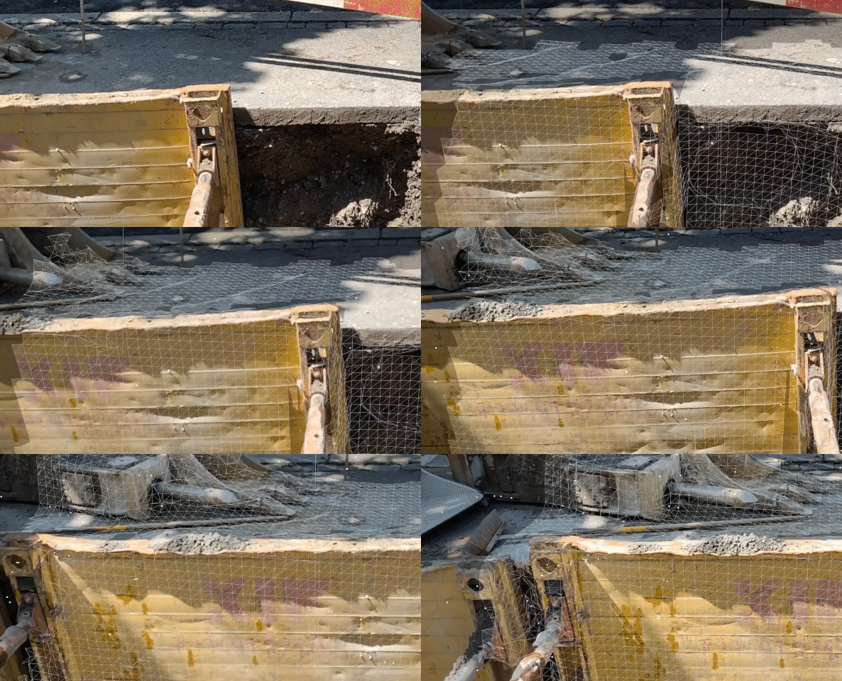
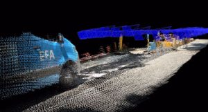
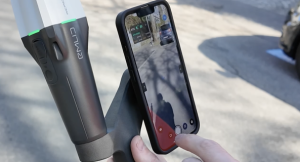
Experience real-time AR feedback on your scan’s coverage and completion with a 3D mesh overlay and point cloud live viewer.
Pause and restart Feature
Pause the capture whenever needed. The live viewer continues to display on your device, displaying the areas you’ve already covered.
Export and process
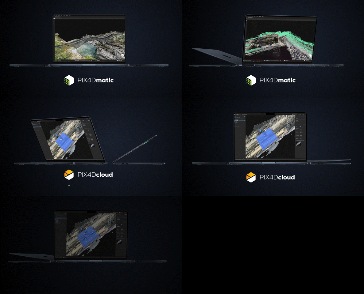
Upload the captured images to PIX4Dcloud or export them to PIX4Dmapper or PIX4Dmatic to generate accurate, measurable, and easy to share 3D models and point clouds.
Subscription plans
Discovery.
The Discovery license is free. It allows users to explore PIX4Dcatch and experiment with 3D scanning of scenes.
Standard.
Pix4D license holders* have access to all of the features from Discovery plus data export/import. A PIX4Dcloud license allows for advanced processing.
*PIX4Dcloud, PIX4Dmatic, or PIX4Dmapper licenses only
Professional.
The Professional license includes all the offerings of the Standard license, but with an additional range of premium features, including:
-
- AR Points
- Display projects in AR (requires PIX4Dcloud subscription)
Product Information
Ease of use
Intuitive UI with comprehensive support makes it easy for all users to quickly master.
Capture ground data
Walk along or around the area of interest to scan, and PIX4Dcatch will automatically record video frames with positional and orientation information.
RTK compatibility
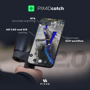
Achieve absolute centimeter accuracy in your 3D models with PIX4Dcatch and RTK.
Pix4D Catch is a free downloadable app.
Supported devices
PIX4Dcatch is available on iOS (above version 13.4.1) and Android (above version 9), but it is optimized for the Apple iPad Pro and Apple iPhone 12 Pro equipped with a LiDAR scanner, giving a live feedback of the scan completion with augmented reality. When uploaded to PIX4Dcloud the Gaussian Splat feature works in conjunction with the LiDAR capability of the iPhone gives realist imagery to your project.
FAQ.
PIX4Dcatch is a mobile application for ground 3D scans from android and iOS devices. PIX4Dcatch allows anyone to easily acquire the right terrestrial data for digitizing the reality around them and turning it into accurate 3D models.
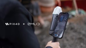
There are different bundle options for PIX4Dcatch. Get in touch for further information. Using the PIX4Dcatch Scanning Kit, you can upload directly to PIX4Dcloud. Once in PIX4Dcloud you can share it with anyone that has the link. However, you will need a valid PIX4Dcloud license to upload the dataset to PIX4Dcloud or process the project in your PIX4Dmatic, Desktop Licence. The standard Bundle is PIX4Dcatch yearly licence,
EMLiD Reach RX,
EMLiD Scanning Kit,
PIX4Dcloud,
PIX4Dcatch training,
€3890.00 (Ex-Vat)
Contact us to purchase a PIX4Dcatch Licence
PIX4Dcapture is the flight planning and image acquisition app for aerial imaging, whereas PIX4Dcatch is a mobile application for ground 3D scans using iOS or Android devices.
PIX4Dcatch is currently supported on a device that runs on iOS version 13.4 or higher or on Android version 9 or higher.
An internet connection is needed, as you need access to a Smartnet Subscription. This allows connection to the CORS NTRIP Network.
In order to upload to the cloud on Site, you would be required to have an internet connection.
You can use your Phone as a method to connect to the internet once you good signal strength.
Smartnet is a separate cost and we can provide you with a quote.
PIX4Dcatch (iOS version) uses the LiDAR to capture the depth information of the surrounding during the image acquisition. The LiDAR points will compensate for the lack of 3D points over reflective and low texture surfaces.
PIX4Dcatch (Android version) doesn’t use depth data while processing.
The option to upload the depth information is only available on the device (Apple iPad Pro 2020, iPhone 12 Pro, iPhone 12 Pro Max, and other iOS devices) with the LiDAR. While processing the exported project using PIX4Dmapper, the depth information will not be used. So, to use the depth data while processing, the project should be directly uploaded from the PIX4Dcatch app to the PIX4Dcloud.
During the image acquisition, the LiDAR sensor has the following benefits:
- real-time feedback generated by the LiDAR sensor during capture guides you on the coverage of your area of interest
- it also fine-tunes the positioning and pose information that automatically triggers the images
- it helps in locating the project in the real world when compared to the device’s internal GPS that only gives a rough estimate.
If you use a LiDAR enabled iOS device, and choose to upload your project with the “Process with depth” enabled, the LiDAR data is used directly in two ways:
- To estimate a more accurate scale of the reconstruction and
- To fill low texture areas that photogrammetry alone is not able to reconstruct.
It is important to note that visible features are still needed in all the images, even if the LiDAR data is used.
For example, please check out these two projects: project processed without LiDAR and project processed with LiDAR. Notice the holes in the point cloud of the project processed without the LiDAR and see how these holes are filled out in the project processed with the LiDAR. Particularly, in areas that photogrammetry is unable to create “tie points”, it takes the help of the LiDAR data to fill those areas.
To get a more accurate orientation in PIX4Dcatch on iOS, the Compass Calibration must be enabled:
- Click on the Settings icon.
- Select Privacy.
- Select Location Services.
- Select System Services.
- Turn Compass Calibration ON.
Images captured can be accessed by every (logged-in) user. This means that every user with a PIX4D account can export the captured images. Another way to access the images would be by using a PIX4Dcloud license. The images should be first uploaded to PIX4Dcloud and then downloaded.
Yes. You can only upload the images to the cloud for processing if you have the PIX4Dcloud or PIX4Dcloud Advanced license.
Every user with a PIX4D account can export images from the app.

